مطالب پیشنهادی:
Mangaloo Forest Park “Tang Shabikhon”

Plakhmal Mountain Forest Park is located 15 km from Khorramabad city with 500 hectares and is located along the Khorram Abad-Alhart asphalt road. The area is relatively mountainous due to the topographic map of the country, with a height of 1652 meters above sea level in the east of the range, which is the tallest point of the park. The other elevations within the park range are 1522 meters Height above sea level. There is a difference between the minimum and maximum points in the park’s area of ​​approximately 370 meters, which indicates the mountainous nature of the park area. Municipal Park Forest is a tourist resort in Zaminah) ecotourism, geotourism)

This park is from the north to the village of Tang Shibikhan from the east to the Chogha Mountain and from the west to the Khoram Abad asphalt road – Alshatr

Vegetable elements are garden planting sites. The diversity and mix of plant species in the park are very diverse, so that more than 20 species of plants can be seen in the park. The dominant plant species in the park are mainly on Iranian ash and oak trees

The park is more affected by the city due to its proximity to the city of Khorramabad. The closest villages in the park range that have the greatest impact on it are described below

Bahram Jo village: This village is located in the southwest of the park, and its distance to the enclosed parks is less than 50 meters. The forest park of Shamilkouh “Tang Shibikhon”

Tang Shibikhun Village: This village is located in the north of Shmalkou Forest Park

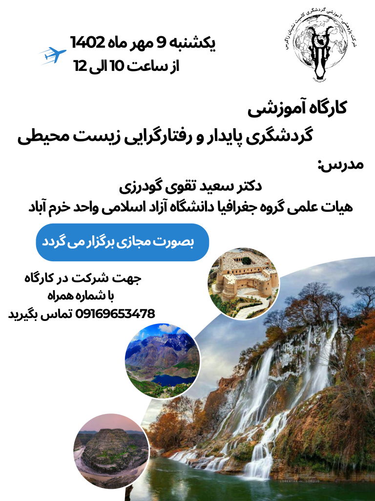
Resource / Research Company- Tourism Training “Zagros Casitates”

[ زینب حاجری ]

کارشناس مدیریت جهانگردی
کارشناسی ارشد جغرافیای طبیعی
نایب رئیس شرکت پژوهشی - آموزشی گردشگری کاسیت نشینان زاگرس
مسئول آموزش شرکت پژوهشی-آموزشی گردشگری کاسیت نشینان زاگرس
مسئول تولید محتوای شرکت پژوهشی-آموزشی گردشگری کاسیت نشینان زاگرس

انتشار مطالب فوق تنها با ذکر مرجع به همراه لینک وب‌سایت شرکت پژوهشی-آموزشی گردشگری کاسیت نشینان زاگرس مجاز است.
لطفا به حقوق هم احترام بگذاریم.

مطالب مرتبط
تصویر: Shoorab Forest Park
Shoorab Forest Park
  • ۰
  • ۵۸۱
  • 2019/01/06
تصویر: Bisheh waterfall
Bisheh waterfall
  • ۰
  • ۶۹۲
  • 2018/07/14
تصویر: Bisheh garmeh waterfall
Bisheh garmeh waterfall
  • ۰
  • ۱۰۰۸
  • 2018/03/17
تصویر: White waterfall
White waterfall
  • ۰
  • ۱۲۰۸
  • 2018/01/16

Mangaloo Forest Park “Tang Shabikhon”

Mangaloo Forest Park “Tang Shabikhon”

Forest Park samt Bergen, 15 Kilometer von der Stadt Khorramabad, hat eine Fläche von 500 Hektar und befindet sich auf der asphaltierten Straße Chorramabad Grdydhast Elster. Höhe über dem Meeresspiegel. Zwischen den Minimal- und Maximalpunkten im Bereich von etwa 370 Metern Akhtlafartfa Park, dass der Park ist von der Bergregion indikativ. Forest Park Mkhmlkvh Daraykarbry im Rahmen des Tourismus (Ökotourismus, Geotourismus) sind.

Dieser Park ist vom Norden bis zum Dorf Tang Shibikhan, vom Osten bis zum Chogha-Gebirge und vom Westen bis zur Khoram Abad-Asphaltstraße – Alshatr.

Pflanzliche Elemente sind Gartenpflanzen. Die Artenvielfalt und der Pflanzenmix im Park sind sehr vielfältig, so dass mehr als 20 Pflanzenarten im Park zu sehen sind. Die vorherrschenden Pflanzenarten im Park sind hauptsächlich auf iranischen Eschen und Eichen.

Der Park ist aufgrund der Nähe zur Stadt Khorramabad von der Stadt stärker betroffen. Die nächstgelegenen Dörfer im Parkbereich, die den größten Einfluss darauf haben, werden im Folgenden beschrieben:

1-Bahram Jo village: Dieses Dorf liegt im Südwesten des Parks und ist weniger als 50 Meter von den umliegenden Parks entfernt.Der Waldpark von Shamilkouh “Tang Shibikhon”.

2. Tang Shibikhun Village: Dieses Dorf liegt im Norden des Shmalkou Forest Park.

Resource / Research Company- Tourismusschulung “Zagros Casitates”

[ زینب حاجری ]

کارشناس مدیریت جهانگردی
کارشناسی ارشد جغرافیای طبیعی
نایب رئیس شرکت پژوهشی - آموزشی گردشگری کاسیت نشینان زاگرس
مسئول آموزش شرکت پژوهشی-آموزشی گردشگری کاسیت نشینان زاگرس
مسئول تولید محتوای شرکت پژوهشی-آموزشی گردشگری کاسیت نشینان زاگرس

انتشار مطالب فوق تنها با ذکر مرجع به همراه لینک وب‌سایت شرکت پژوهشی-آموزشی گردشگری کاسیت نشینان زاگرس مجاز است.
لطفا به حقوق هم احترام بگذاریم.

مطالب مرتبط
تصویر: Der Shoorab Forest Park
Der Shoorab Forest Park
  • ۰
  • ۴۶۹
  • 2019/01/06
تصویر: Bisheh-Wasserfall
Bisheh-Wasserfall
  • ۰
  • ۷۱۳
  • 2018/07/14
تصویر: Der Lichtungswasserfall
Der Lichtungswasserfall
  • ۰
  • ۱۰۱۳
  • 2018/03/17
تصویر: Der weiße Wasserfall
Der weiße Wasserfall
  • ۰
  • ۱۱۸۷
  • 2018/01/16

ارسال نظر

Your email address will not be published. Required fields are marked *